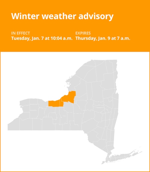
New York’s Staten Island. Governor Kathy Hochul has declared a state of emergency in several upstate counties due to significant lake effect snow. Hochul provided residents with the most recent information on developments and the government’s response as several feet of snow were predicted to fall on different areas of New York State.
Allegany, Erie, Cattaraugus, Chautauqua, Genesee, Herkimer, Jefferson, Lewis, Oswego, St. Lawrence, Wyoming, and neighboring counties were all placed under a state of emergency by Hochul on Friday.
Travel advisories have been issued for Jefferson, Lewis, and portions of Erie counties following the snowfall. Due to snow-covered roads, travel conditions are expected to remain hazardous to impossible through Monday. Forecast wind gusts are predicted to cause power disruptions and blow the snow around.
“I urge New Yorkers in impacted regions to stay vigilant and avoid unnecessary travel as we deal with this lake effect snowstorm,” Hochul stated. In order to support local communities, my administration is working around the clock with our state agencies and more than 100 National Guard personnel on the ground. Please pay attention to travel warnings and watch out for each other. We shall weather this storm together.
UPDATE ON WINTER WEATHER:In response to the snowstorm in the North Country and Western New York, my administration is working nonstop.More than 100 members of the National Guard and our state agencies are on the ground to assist with storm operations.
The New York Thruway is still stopped to all traffic at Exit 57 westbound, and as of Saturday afternoon, all commercial trucks were prohibited from traveling in either direction from Exit 46 to the Pennsylvania state boundary. Furthermore, state route 219 from the Pennsylvania state line to I-90 and I-86 from the Pennsylvania state line to I-390 are still prohibited for empty and tandem commercial vehicles.
On top of the snow that has already fallen, several feet more are expected to fall in certain areas of the state. With the greatest precipitation falling early Sunday morning in portions of Western New York and the North Country, the lake effect snow is predicted to last into Monday. Sometime late Sunday night or early Monday is predicted to bring further snow. Snowfall rates in these places are expected to be between 1 and 3 inches per hour, with the most powerful snow bands receiving 3 to 4 inches.
From Sunday through Monday, a change in wind is also predicted to bring that lake effect snow to the Mohawk Valley Region and Central New York. The Mohawk Valley is expected to receive 3 to 5 inches of snow, while residents of Central New York should anticipate 4 to 8 inches.
more weather stories
-
Experts update La Ni a forecast: What it could mean for winter
-
N.Y. weather: Here s what early forecast for 1st month of winter shows
-
National Weather Service ditches wind chill , updates winter alerts: What it means for forecasts
-
N.Y. weather: Winter around the corner, but monthly outlook shows warmer, drier month ahead
Note: Every piece of content is rigorously reviewed by our team of experienced writers and editors to ensure its accuracy. Our writers use credible sources and adhere to strict fact-checking protocols to verify all claims and data before publication. If an error is identified, we promptly correct it and strive for transparency in all updates, feel free to reach out to us via email. We appreciate your trust and support!


+ There are no comments
Add yours